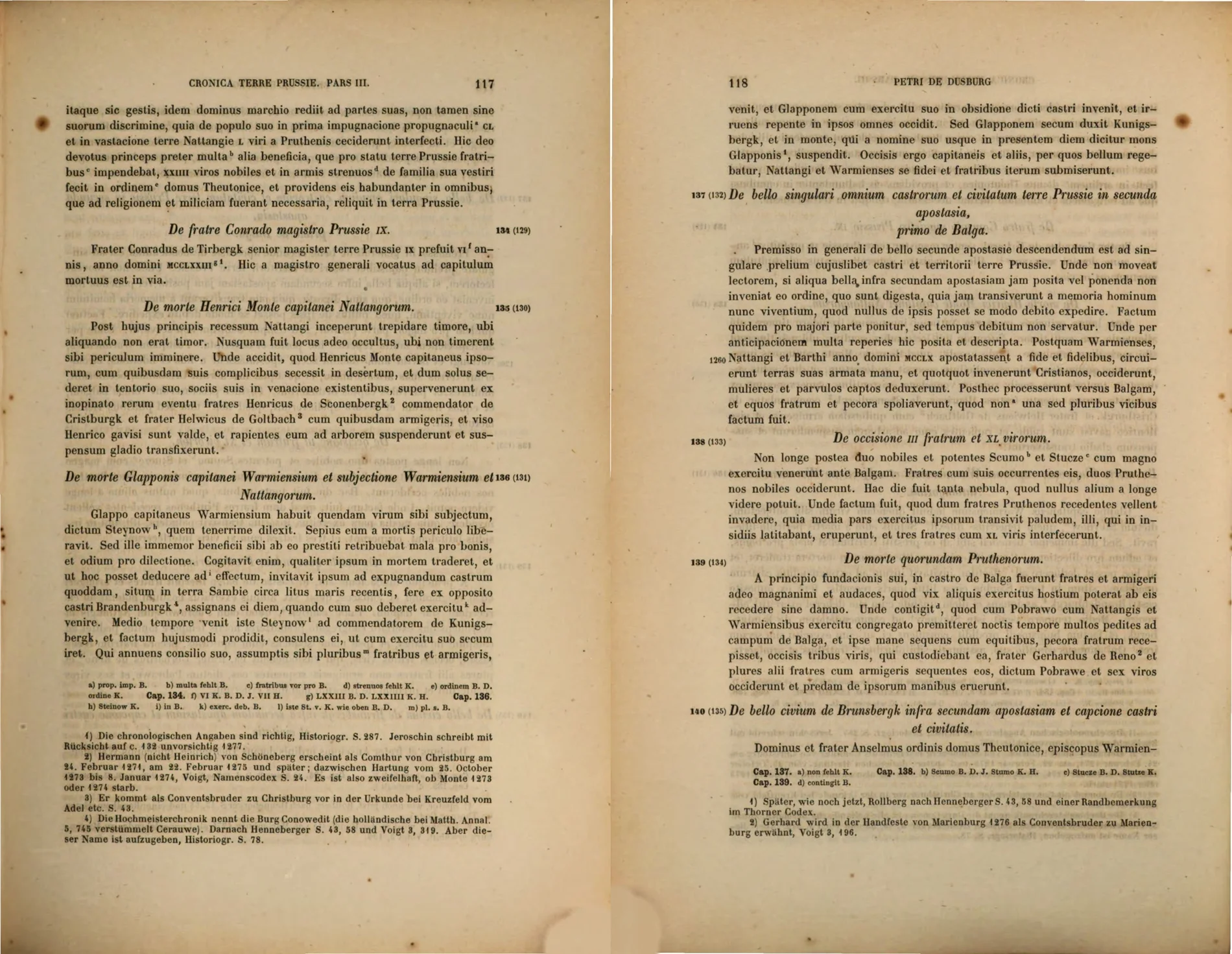
Peter of Dusburg, Chronicon terrae Prussiae
The earliest narrative: Glappo, Steynow, an unnamed Samland castle near the Haff and opposite Brandenburg, capture and execution.
Essential
Annotated bibliography
The sources are arranged by the role they play in the argument. Historical claims on the other pages are deliberately kept no stronger than the material listed here supports.
The earliest narrative: Glappo, Steynow, an unnamed Samland castle near the Haff and opposite Brandenburg, capture and execution.
Essential
Stapel identifies Hs. 392 as an “author’s copy”, written in direct cooperation with the original author. In the Glappo passage it explicitly states ende dese borch hiet Cenauwe—“and this castle was called Cenauwe”. This anchors the basic name at or very near the chronicle’s late-fifteenth-century composition, without proving that it was the castle’s thirteenth-century name.
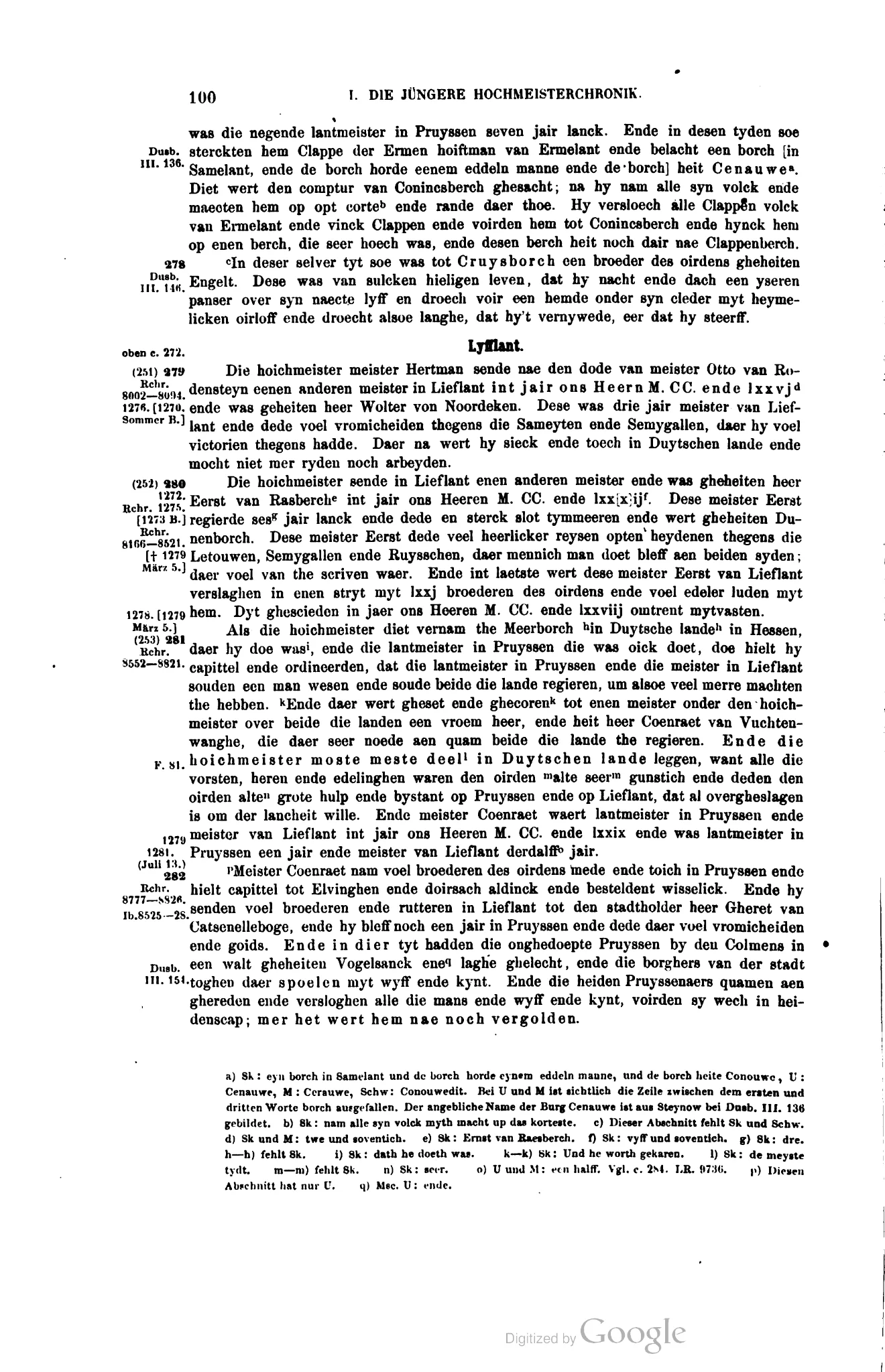
Still valuable for the later manuscript witnesses. The apparatus records Conouwe, Cenauwe, Cerauwe and Conouwedit; Hirsch proposes that Cenauwe was formed from Dusburg’s personal name Steynow.
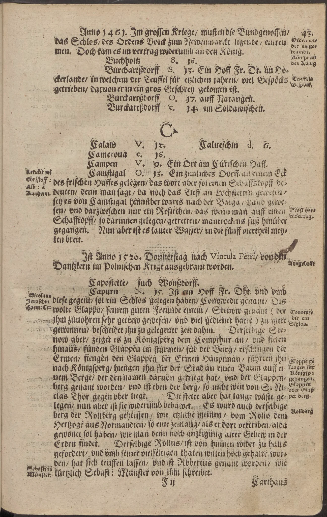
The earliest source currently known to attach Conowedit to the Capurn district. The two entries cross-reference one another and are not independent evidence.
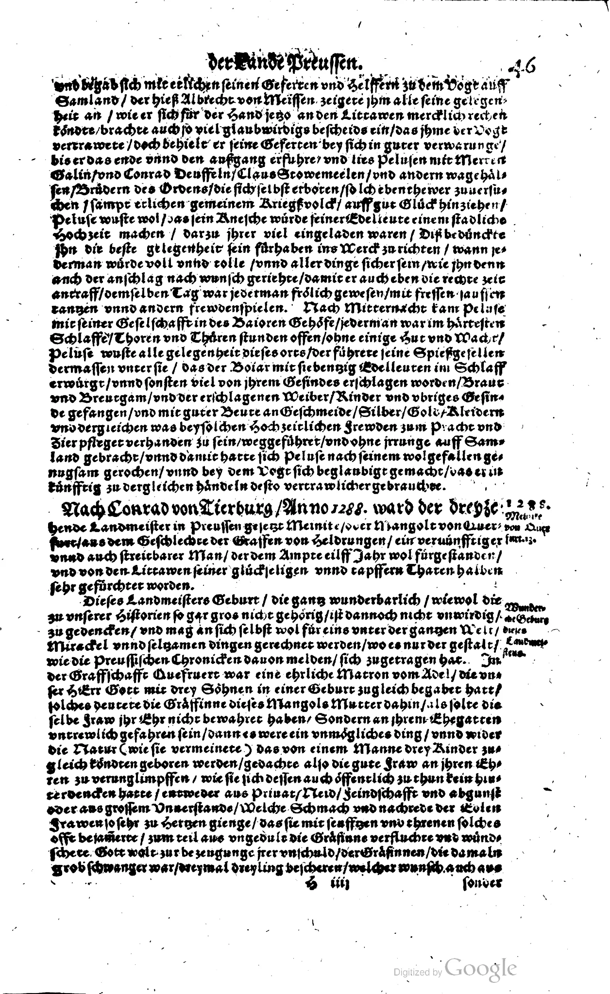
Provides Martin Galin, Conrad Deuffeln, Claus Stowemeelen and most of the raid later incorporated by Jester. It does not place the party at Connowedit.
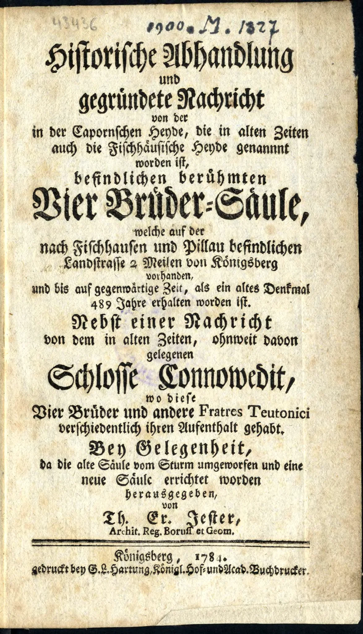
The decisive eighteenth-century synthesis. It joins Schütz’s Pelusa material to Connowedit and the monument through an unidentified “old manuscript”, and gives a valuable description of the site.
A wide survey of explanations for the monument. Its failure to mention the joined Golin–Connowedit narrative is meaningful negative evidence.
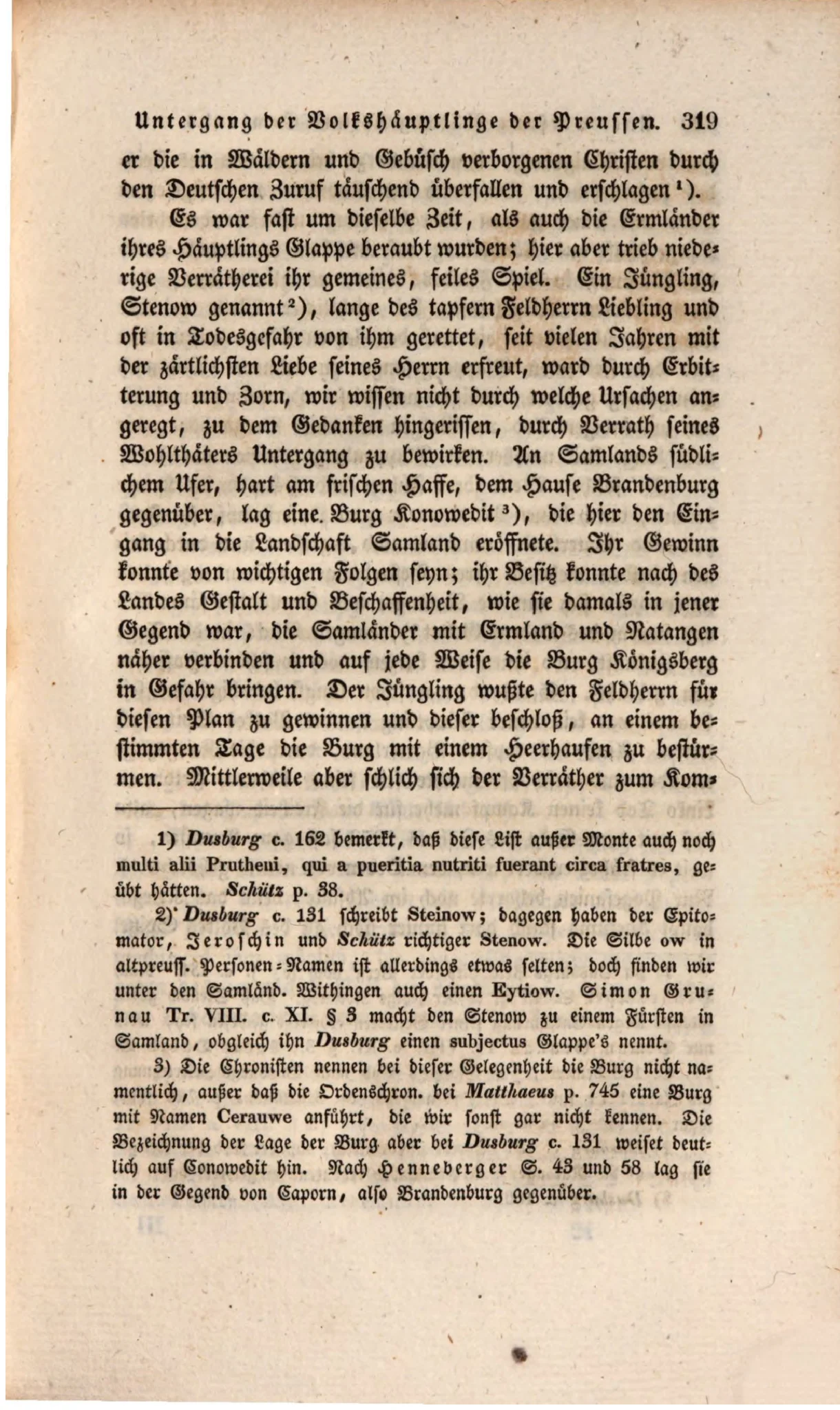
Accepts Konowedit through topographical reasoning while acknowledging the unnamed castle and uncertain Cerauwe. Informed interpretation, not proof.
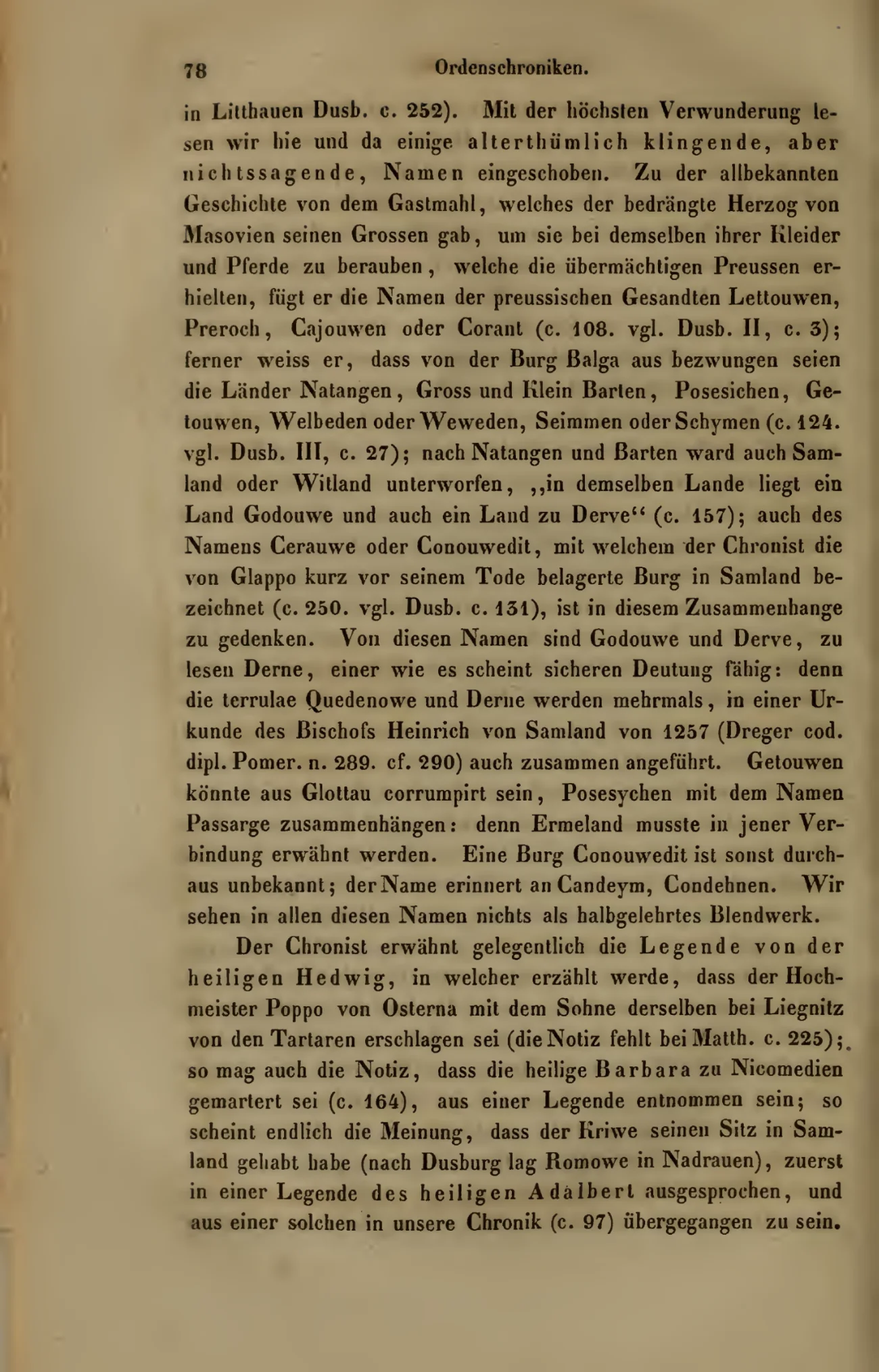
Rejects Conouwedit and related names as pseudo-learned embellishment in the Younger Hochmeisterchronik.
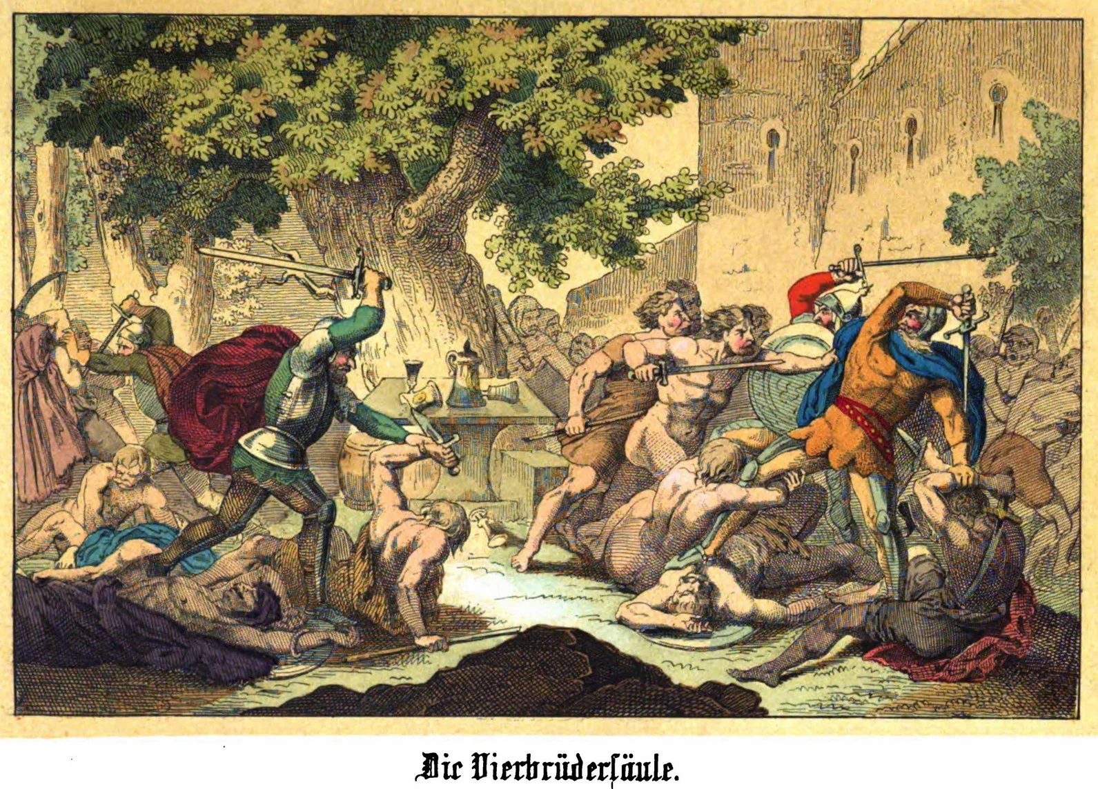
A long and entertaining popular expansion in which the four companions storm Konoweidit and Golin receives it as hereditary property. Valuable for reception history, not independent medieval evidence.
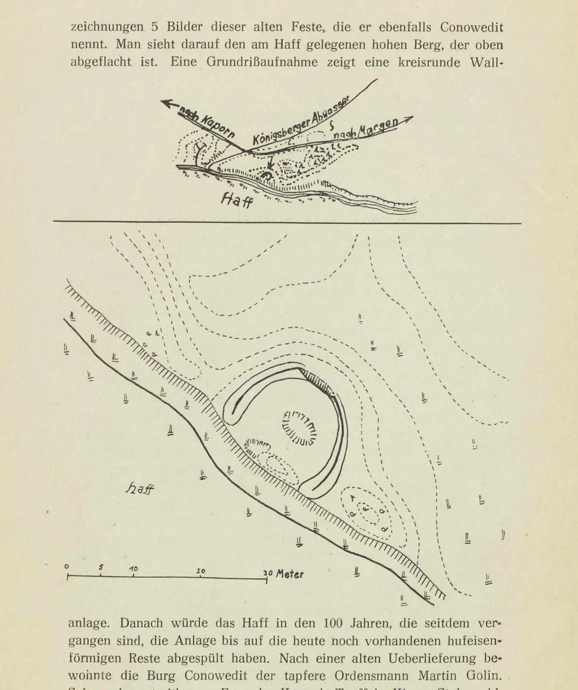
The strongest published record of the surviving earthwork. Crome carefully separates the physical banks from their traditional identification as Conowedit and summarises Guise’s five earlier drawings.
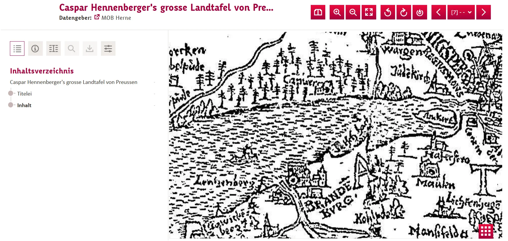
The principal unresolved archival lead. Search variants include Konowedit, Conowedit, Connowedit, Kaporn/Caporn, Margen/Maargen and “Konowedit am Haffe”.
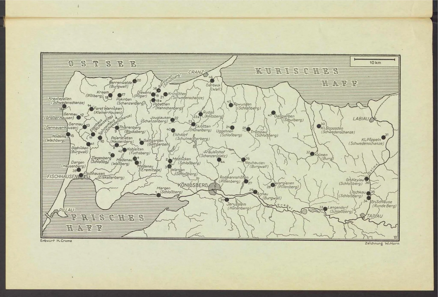
Useful for regional orientation. It marks Capurn but no separate Conowedit and is too generalised to test Jester’s projecting hill.
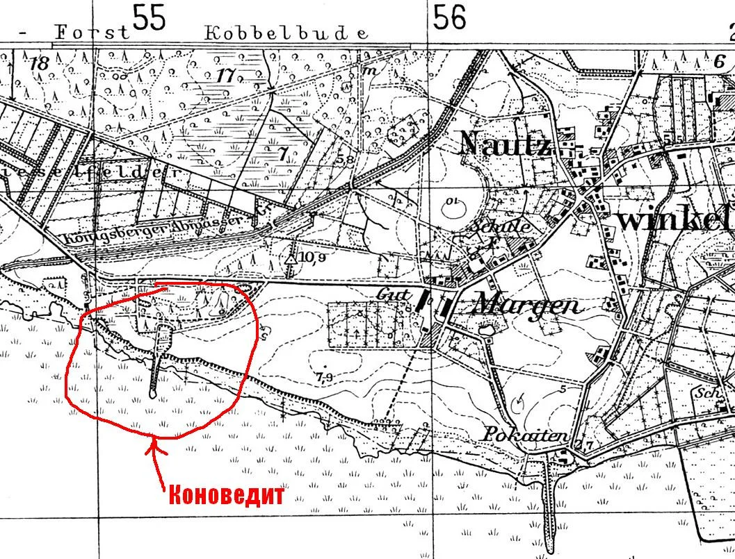
The forum map shares the official survey framework but depicts the site differently, including a straight embanked approach. Exact printing state remains open.
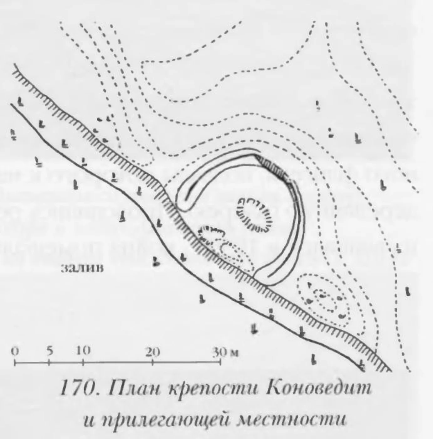
Useful evidence for modern Russian reception. The plan and physical description derive from Crome; the identification of Dusburg’s unnamed castle as Conowedit is accepted rather than argued.
Contains useful local orientation near the sewage works and former Zhukovskoye, but conflates Wargen, Kaporn, Conowedit, the Sudovians and the Vierbrüdersäule. Its unnamed early maps and etymology remain unverified.
Open research
| Lead | Purpose | Status |
|---|---|---|
| Berlin Prussia-Fundarchiv | Locate Guise’s five images, Crome slips and any photographs or modern references. | Enquiry sent; awaiting reply |
| Russian forum | Field photographs, modern location and map discussion. | Photo permission received; exact Messtischblatt printing still open |
| Jester’s “old manuscript” | Find title, provenance, owner, quotation or later archival reference. | Unidentified |
| Early maps dated 1542, 1547, 1584 and 1638 | Test whether they show Conowedit, Caporn or merely the general locality. | Unverified claim |
| Utrecht Chronicle sources | Determine, if possible, the immediate source from which the compiler obtained Cenauwe. | Open textual question |
The historical illustrations are small research excerpts from old books and maps used for identification, comparison and commentary. Repository or digital-source links are supplied where available.
The two 2011 site photographs are by Vasiliy. He explicitly permitted their reuse on 27 August 2026; each caption links to the original forum thread, as requested.
Particular thanks are due to Vasiliy of forum-kenig.ru for the detailed 2011 field post, the modern site photographs, and permission to reproduce them here. The original discussion also provided an important route into modern Russian maps and literature on the site.
The Berlin Museum für Vor- und Frühgeschichte / Prussia-Fundarchiv has been approached concerning the Guise material; any reply or newly located drawings will be incorporated in a future revision.
Connowedit is used as the modern project title. Historical forms—Conowedit, Konowedit, Conouwedit, Cenauwe, Conouwe and Cerauwe—are retained when discussing particular witnesses.
“Castle” translates historical Burg or Schloß. “Earthwork” is preferred for the Margen site until its date, builders and structural form are established.